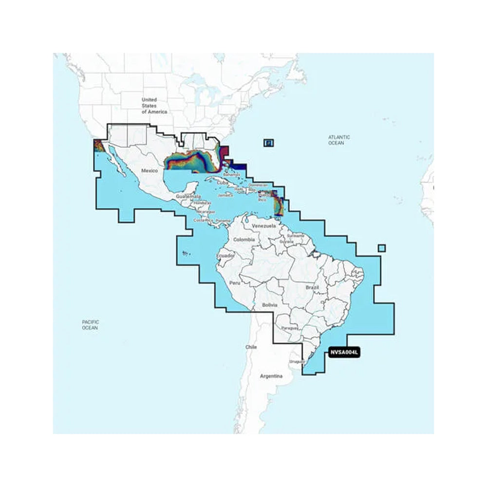
Garmin Navionics Vision+ NVSA004L -Mexico, the Caribbean to Brazil - Inland & Coastal Marine Charts
- Regular price
-
$278.76 - Regular price
-
$399.99 - Sale price
-
$278.76
SKU: 95933 UPC: 753759290597
-
Only 1 item left in stock!
Couldn't load pickup availability
Navionics Vision+ NVSA004L - Mexico, the Caribbean to Brazil - Inland Coastal Marine Charts
It's A Whole New Look On Your Chartplotter
Featuring vibrant colors, a streamlined interface, and combined coastal/inland content with a popular Navionics style color palette, Garmin Navionics+ cartography makes it easy to plot your course with the worlds No. 1 name in marine mapping1.
Features:
- Navigate with our best offshore and inland lake coverage for your Garmin chartplotter.
- See it your way. Customize your view with various chart layers and overlay combinations.
- With your included one-year subscription, access daily updates via the ActiveCaptain smart-device app.
- Auto Guidance+ technology2 lets you navigate with suggested dock-to-dock routings.
- Select up to 10 color-shaded target depth ranges to scope out the best fishing spots.
- Save money by renewing your subscription and continue accessing daily updates plus new content downloads.
- Access detail-rich mapping of coastal features, lakes, rivers, and more. Integrated Garmin and Navionics content offer coverage for boaters worldwide.
- Charts are constantly being enhanced with new and amended content as many as 5,000 updates are made every day. Your one-year subscription includes access to daily chart updates via the ActiveCaptain app.
- Combining the best of Garmin and Navionics automatic routing features, built-in Auto Guidance+ technology2 gives you a suggested dock-to-dock path to follow through channels, inlets, marina entrances, and more.
- High-resolution depth range shading lets you select up to 10 color-shaded options and view your designated target depths at a glance.
- For improved fishing and navigation, up to 1' contours provide a clear depiction of bottom structure for improved fishing charts and enhanced detail in swamps, canals, harbors, marinas and more.
- To give a clear picture of shallow waters to avoid, this feature allows for shading at a user-defined depth.
- NOAA raster cartography3 is available for some U.S. waters as a free downloadable feature via the ActiveCaptain app to provide paper chart-like views on your plotter.
- Community-sourced content provides useful POIs, such as marinas, anchorages, hazards, businesses and more. Get recommendations from boaters with firsthand experience of the local environment.
- This downloadable shading feature4 combines color and shadow to give you an easy-to-interpret, clearer view of the bottom structure than contour lines alone.
- The downloadable sonar imagery feature4 reveals bottom hardness clearly and in contrasting colors, highlighting both subtle and dramatic transition areas on select U.S. lakes.
- Downloadable high-resolution satellite imagery4 provides superior situational awareness.
- Crystal-clear aerial and surface photos of ports, marinas, bridges, docks, boat ramps, dams, and navigational landmarks provide a better sense of your surroundings above the waterline.
- Side-scan images capture submerged features such as fallen timber, fish attractors, wrecks, potential hazards, and more on select U.S. lakes.
- This underwater perspective shows a 3D representation of the bottom and contours as seen from below the waterline. Interface with sonar data for a customized view.
- This view provides a 3D representation of the surrounding area both above and below the waterline.
- Adjust your maps to the lakes current water levels to see if spots are accessible or too shallow to explore.
1Based on 2021 reported sales
2Auto Guidance+ is for planning purposes only and does not replace safe navigation operations
3Raster cartography cannot be viewed on echoMAP CHIRP and ECHOMAP Plus combos but can be viewed on mobile devices via theActiveCaptainmobile app
4 Subscription required; a one-year subscription, which is included with the purchase of Navionics Vision+ mapping solution, lets you access daily chart updates and download additional content or premium features included with your cartography product
| Truck Freight: No |
| Oversized: No |
🚚 Shipping & Fulfillment
Over 30,000 at Lotz Outdoors ship the same day when ordered
by 2pm EST, so you can get your gear quickly for your next adventure.
Some products are fulfilled directly from our trusted third-party partners. As a result, these items may:
• Ship separately from other items in your order
• Have different shipping rates
• Not be eligible for free shipping promotions
We work hard to keep shipping fast, reliable, and transparent across our entire catalog, and any differences will be clearly shown at checkout.
⚠️ Shipping restrictions
Shipping restrictions apply to certain products. By purchasing, you confirm compliance with all local, state, and federal laws.
⚠️ California Proposition 65 Warning
⚠️ WARNING: This product may contain chemicals known to the State of California to cause cancer and birth defects or other reproductive harm.
This may include but is not limited to:
- Lead and lead compounds
- Nickel and nickel compounds
- Phthalates (DEHP, DBP, BBP, etc.)
- Bisphenol A (BPA)
- Cadmium and cadmium compounds
For more information go to www.P65Warnings.ca.gov
Discount available for Military, First Responders, Medical Workers and Teachers