


DJI Mavic 3 Enterprise
- Regular price
-
$4,599.00 - Regular price
-
- Sale price
-
$4,599.00
SKU: S-DJI-M3E UPC:
Couldn't load pickup availability
Questions? Call, text or email us.
DJI Mavic 3 Enterprise: Precision aerial surveying and mapping solution
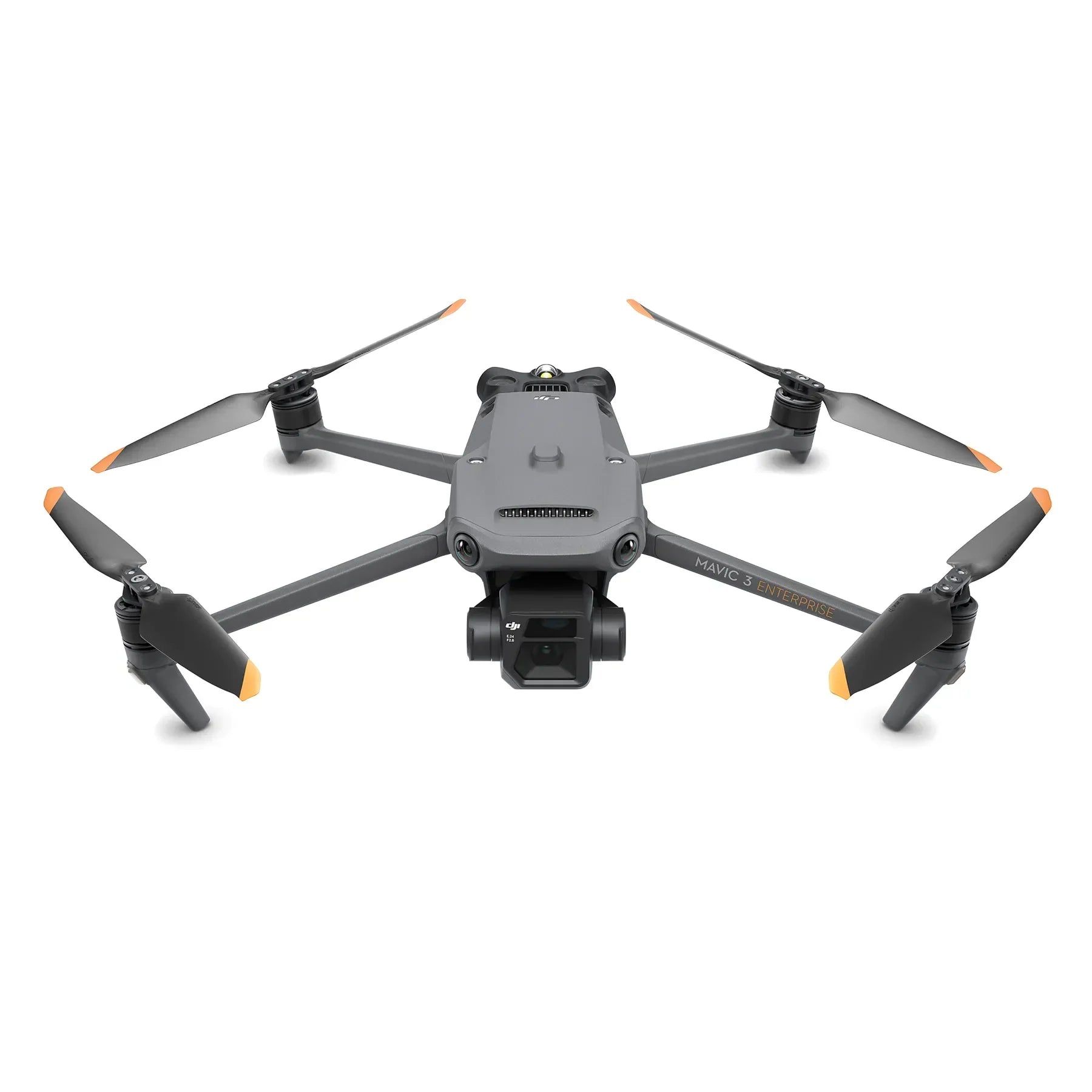
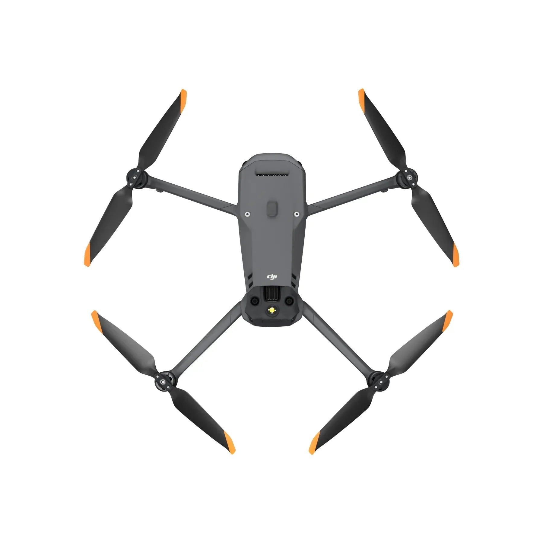
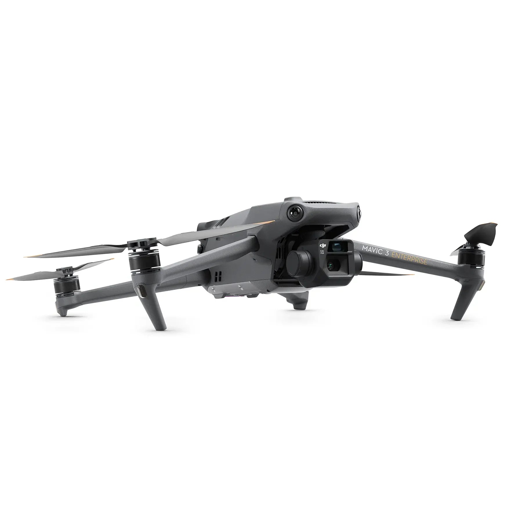
The DJI Mavic 3 Enterprise (M3E) is a compact, industry-leading aerial platform specifically engineered to redefine efficiency for mapping and surveying professionals. Combining a 4/3 CMOS 20MP wide camera with a mechanical shutter, the M3E eliminates motion blur during high-speed data collection, supporting rapid 0.7-second interval shooting.
This portable power-house allows teams to conduct centimeter-level precision missions when paired with the optional RTK module. With up to 45 minutes of flight time and an advanced 56× hybrid zoom camera, the M3E provides the endurance and visual reach required for complex industrial tasks.
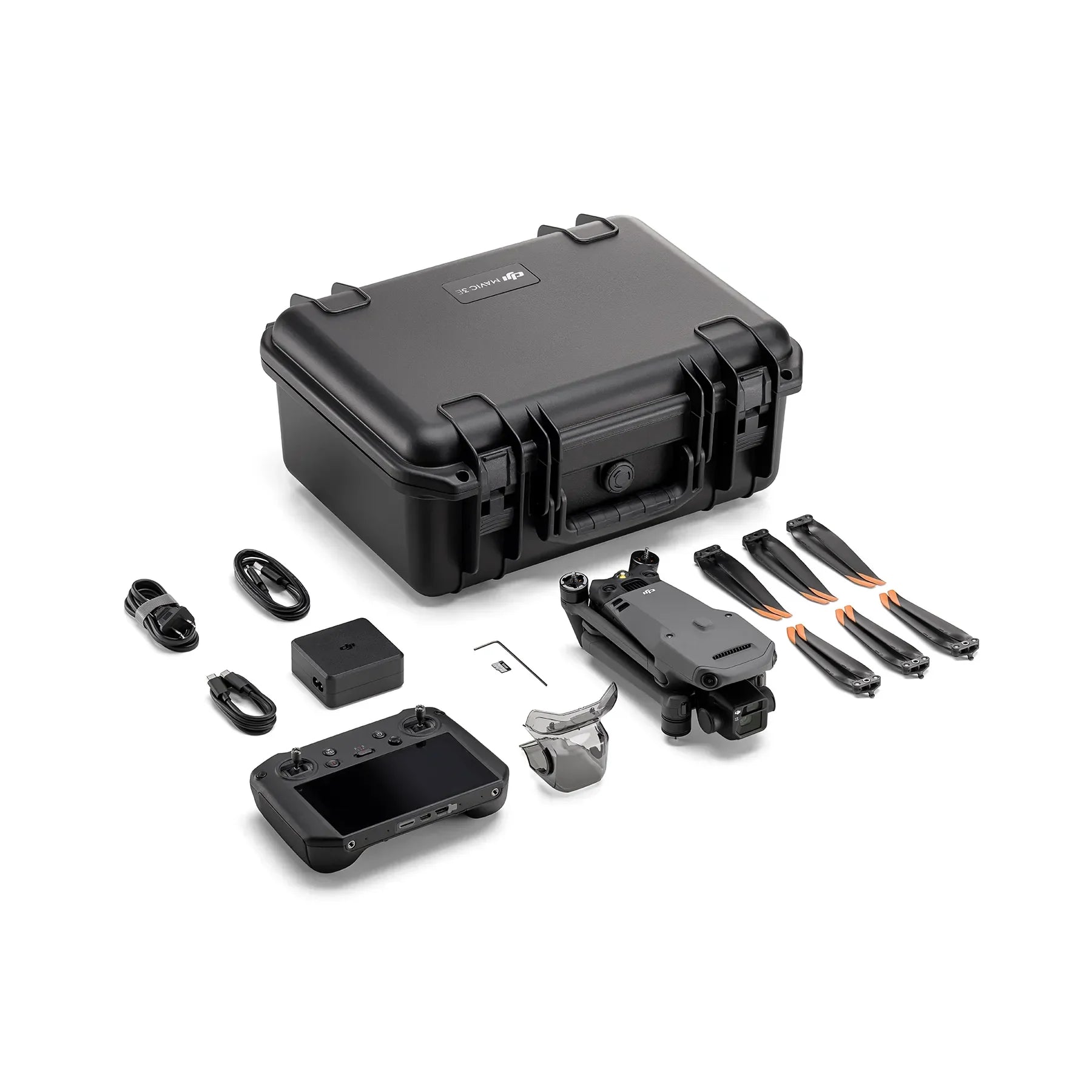
Designed for rapid deployment, it integrates deeply with the DJI RC Pro Enterprise to offer an intuitive, high-brightness control interface for the most demanding field environments.
Mavic 3 Enterprise core features and advantages
- Mechanical shutter: Prevents rolling shutter distortion for high-speed precision mapping missions
- Rapid interval shooting: Captures images every 0.7 seconds to increase data collection efficiency
- Extended flight time: Provides up to 45 minutes of airtime for large-scale coverage
- High-resolution imaging: Features a 20MP 4/3 CMOS sensor for professional-grade results
- Tactical zoom capability: Tele camera supports 56x hybrid zoom for distant target identification
- Centimeter-level precision: Supports modular RTK attachments for highly accurate surveying metadata
- Omnidirectional sensing: Advanced binocular vision system ensures safe navigation in complex areas
- High-brightness control: Bundled RC Pro Enterprise provides clear visibility in direct sunlight
- Low-light performance: Large 3.3 µm pixels enhance imaging quality in dim conditions

Tactical accuracy and high-speed data collection
The Mavic 3 Enterprise delivers professional-grade surveying performance by prioritizing speed without sacrificing accuracy. The inclusion of a mechanical shutter on the primary wide-angle camera is a critical differentiator, allowing the drone to fly at higher speeds while maintaining sharp, survey-ready images.
This efficiency is further bolstered by the 0.7-second interval shooting, which significantly reduces the total flight time required for large-scale photogrammetry projects.
Integrated with the DJI Pilot 2 app and O3 Enterprise transmission, pilots maintain clear 1080p/30fps feeds even at distances up to 15 km, ensuring consistent situational awareness and control during critical mission phases.

Uncompromised Flight Safety
The DJI Mavic 3 Enterprise (M3E) integrates professional-grade hardware and software to ensure high-stakes missions remain safe and secure. Its core safety ecosystem features:
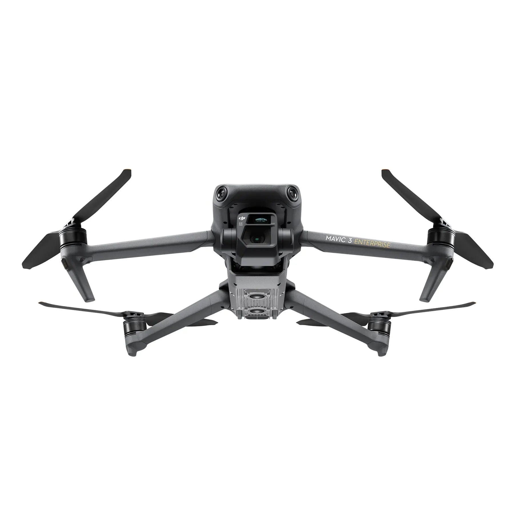
- Omnidirectional Obstacle Sensing: Employs six fish-eye vision sensors and two wide-angle sensors to provide 360-degree detection with zero blind spots.
- APAS 5.0: This advanced pilot assistance system automatically reroutes the drone around obstacles in real-time without interrupting the flight path.
- DJI AirSense (ADS-B): An onboard receiver detects nearby traditional aircraft (planes and helicopters) and provides early warnings to the pilot.
- Advanced Return to Home (RTH): Automatically calculates the most efficient route back to the home point, bypassing obstacles to save battery and reduce risk.
- Data Security: Includes a Local Data Mode to prevent information from being sent over the internet and AES-256 encryption for the transmission link.
- Operational Aids: Features a built-in beacon for night identification and an auxiliary bottom light to assist vision sensors during low-light landings.
Hardware, software, and SDK compatibility
- Modular support: Compatible with the M3E RTK Module and Loudspeaker
- Mission software: Fully integrated with DJI Pilot 2, Terra, and FlightHub 2
- Developer access: Supports PSDK and MSDK for custom enterprise app development
- Storage requirements: Optimized for V30 or higher microSD cards up to 512GB
- Satellite positioning: Utilizes GPS, Galileo, BeiDou, and GLONASS for flight stability
- Thermal range: Engineered for reliable operation in temperatures from 14° to 104°F
Professional applications and use cases
- Photogrammetry: Generate high-accuracy 2D maps and 3D models for land development
- Infrastructure inspection: Observe distant assets clearly using 56x hybrid visual zoom
- Site progress: Track construction evolution over time with repeatable waypoint missions
- Centimeter-level surveying: Conduct boundary surveys using RTK-corrected aerial metadata and images
- Public safety: Deploy rapidly for tactical surveillance with 45 minutes of endurance
- Volume measurements: Calculate stockpile amounts accurately using high-resolution terrain models and data
- Asset management: Monitor large-scale utility corridors efficiently with automated linear flight paths
Optimized for operational readiness
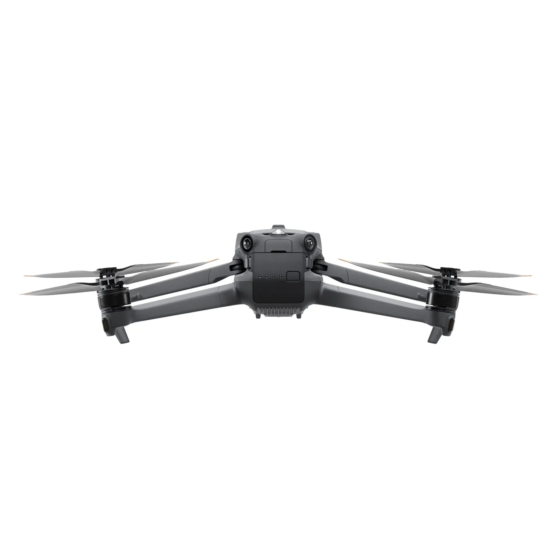
The Mavic 3 Enterprise represents the definitive tool for organizations looking to scale their aerial data collection capabilities without increasing logistical complexity. By condensing professional-grade sensors into a 915g foldable frame, this aircraft enables a single operator to perform tasks that once required much larger and more expensive systems.
Its robust safety features and intelligent mission planning tools ensure that your team can focus on data quality rather than aircraft management, maximizing the return on every flight.
DSLRPros is committed to providing the technical expertise and lifecycle support necessary to turn advanced hardware into successful operational outcomes. We ensure your team is equipped with a mission-ready ecosystem that integrates seamlessly into existing surveying and public safety workflows.
Modernize your aerial data collection and achieve higher mission efficiency by adding the DJI Mavic 3 Enterprise to your fleet through DSLRPros.
🚚 Shipping & Fulfillment
Over 30,000 at Lotz Outdoors ship the same day when ordered
by 2pm EST, so you can get your gear quickly for your next adventure.
Some products are fulfilled directly from our trusted third-party partners. As a result, these items may:
• Ship separately from other items in your order
• Have different shipping rates
• Not be eligible for free shipping promotions
We work hard to keep shipping fast, reliable, and transparent across our entire catalog, and any differences will be clearly shown at checkout.
⚠️ Shipping restrictions
Shipping restrictions apply to certain products. By purchasing, you confirm compliance with all local, state, and federal laws.
⚠️ California Proposition 65 Warning
⚠️ WARNING: This product may contain chemicals known to the State of California to cause cancer and birth defects or other reproductive harm.
This may include but is not limited to:
- Lead and lead compounds
- Nickel and nickel compounds
- Phthalates (DEHP, DBP, BBP, etc.)
- Bisphenol A (BPA)
- Cadmium and cadmium compounds
For more information go to www.P65Warnings.ca.gov
Discount available for Military, First Responders, Medical Workers and Teachers
 Get Verified