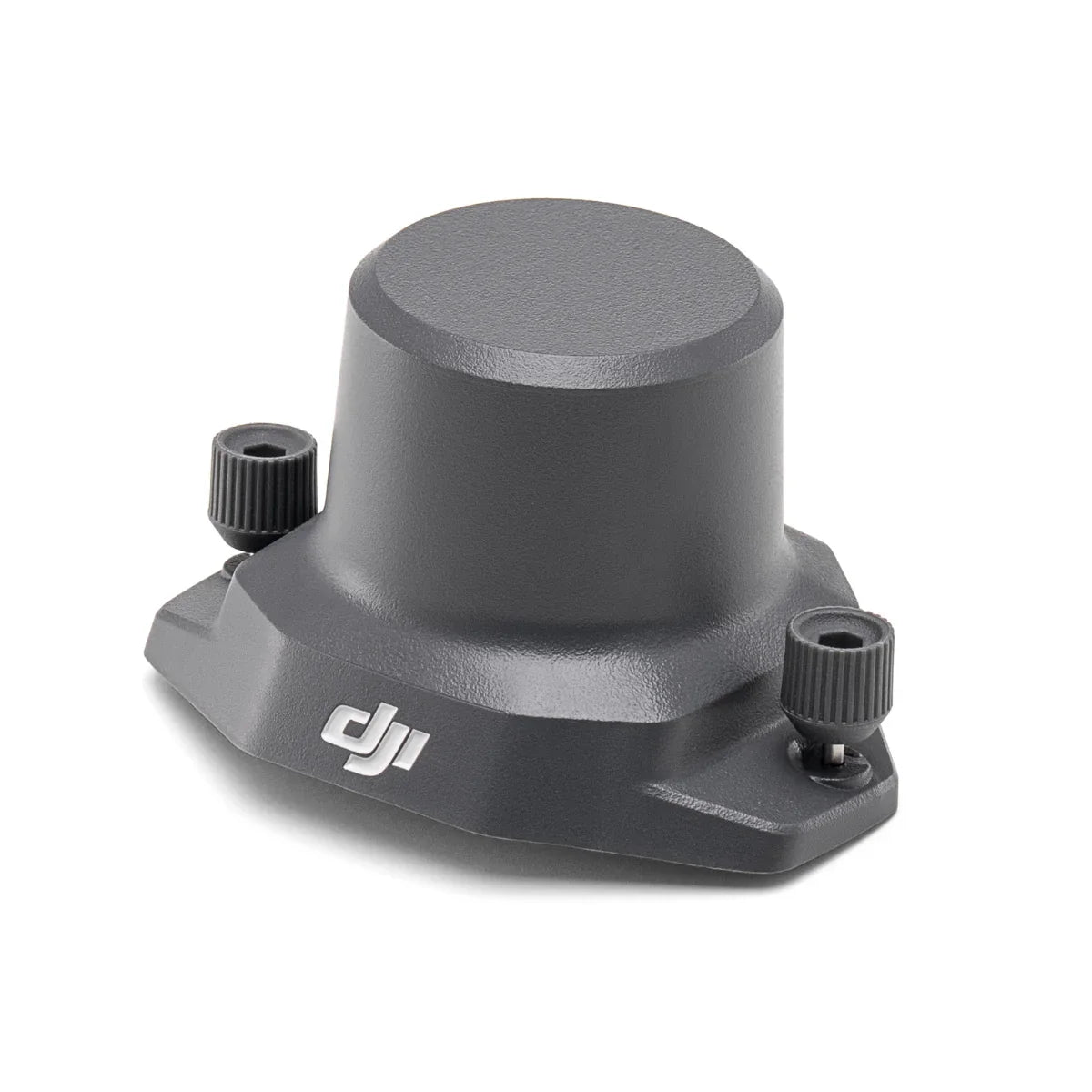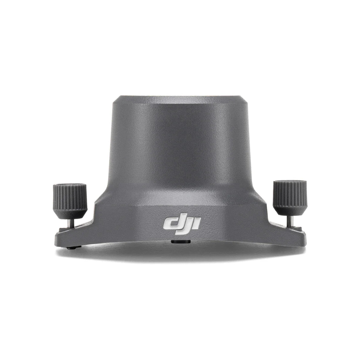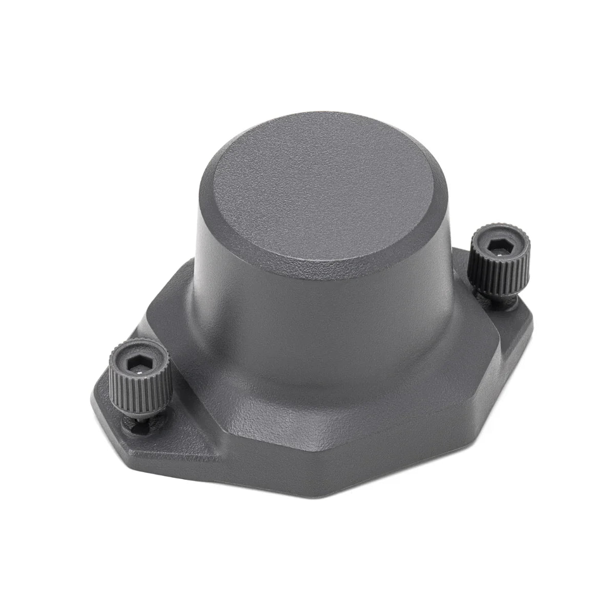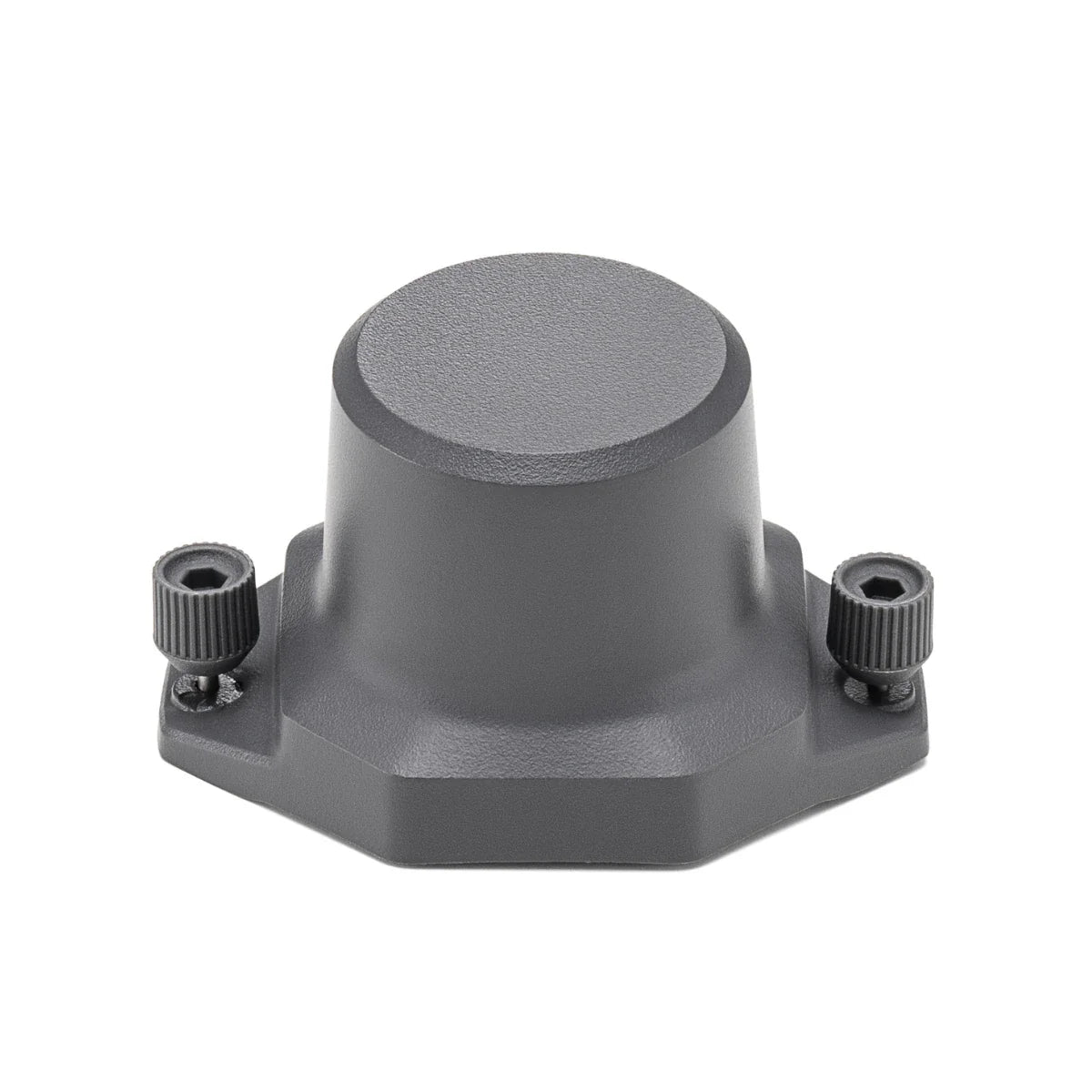



DJI Mavic 3 Enterprise RTK Module
- Regular price
-
$989.00 - Regular price
-
- Sale price
-
$989.00
SKU: S-DJI-M3E-RTKM UPC:
-
10 items left in stock
Couldn't load pickup availability
Questions? Call, text or email us.
DJI Mavic 3 Enterprise RTK Module: Precision centimeter-level positioning
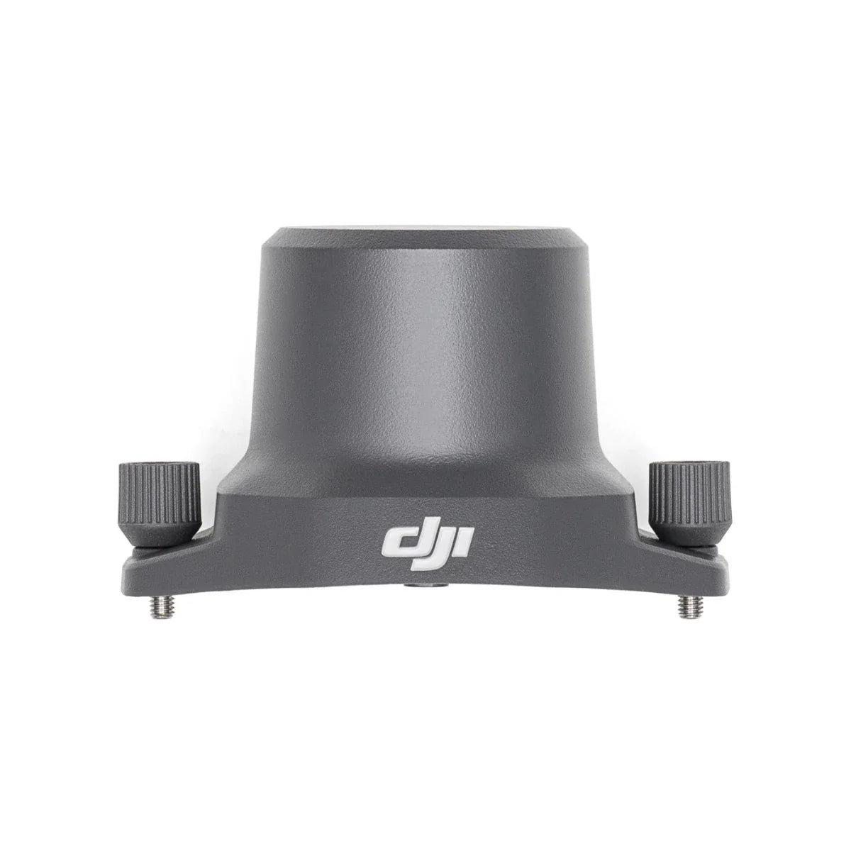
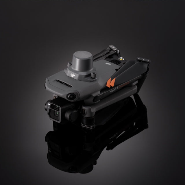
The DJI Mavic 3 Enterprise RTK Module is an essential high-precision accessory designed to transform your Mavic 3 Enterprise series aircraft into a survey-grade mapping tool. Weighing only 24 grams, this compact module attaches to the top of the drone to deliver a horizontal accuracy of 1 cm + 1 ppm and a vertical accuracy of 1.5 cm + 1 ppm.
It utilizes TimeSync 2.0 technology to align the camera, flight controller, and RTK data, ensuring every image is accurately georeferenced down to the microsecond. By providing a stable, high-accuracy coordinate system, the RTK module eliminates the need for extensive ground control points, significantly streamlining professional surveying and construction workflows.
M3E RTK Module system highlights
- Survey-grade precision: Delivers centimeter-level horizontal and vertical accuracy during missions
- Multi-constellation tracking: Supports GPS, GLONASS, BeiDou, Galileo, and QZSS systems
- Micro-weight design: Minimal 24-gram footprint maintains aircraft flight endurance
- Low-power draw: Efficient 1.2W consumption preserves the drone's battery life
- TimeSync 2.0: Coordinates system hardware for microsecond-level image georeferencing accuracy
- Correction flexibility: Compatible with NTRIP, custom networks, and mobile base stations
- PPK readiness: Logs raw satellite observation data for high-accuracy post-processing
- Rapid installation: Attaches securely via built-in thumbscrews for immediate field deployment
- Operational safety: Low-profile design ensures no interference with aircraft sensing systems
Advanced georeferencing and mapping efficiency
The RTK Module empowers professional pilots to achieve absolute accuracy in topographic surveys and digital twin creation. By receiving real-time corrections from Network RTK (NTRIP) or a D-RTK 2/D-RTK 3 Mobile Station, the module provides the centimeter-level metadata required for professional engineering deliverables. For missions in areas with limited connectivity, the system supports Post-Processed Kinematics (PPK), allowing operators to refine data accuracy using raw satellite logs and base station files in software like DJI Terra. This dual-capability ensures that whether you are performing real-time mapping or office-based processing, your data remains consistently accurate and reliable.
Platform and hardware integration
- Aircraft support: Designed for the DJI Mavic 3 Enterprise and Mavic 3 Thermal
- Mission software: Fully integrated with DJI Pilot 2, Terra, and FlightHub 2
- Hardware connection: Attaches via the dedicated top-mounted USB-C accessory port
- Correction sources: Supports D-RTK 2/D-RTK 3 Mobile Station and various NTRIP services
- Frequency points: Tracks multiple bands including GPS L1/L2 and BDS B1/B2
- Field reliability: Engineered for dependable performance in temperatures from 14 to 104 degrees Fahrenheit
Operational use cases
- Photogrammetry: Generate high-accuracy 2D maps without numerous ground control points
- Construction monitoring: Conduct precise volumetric analysis and site progress tracking
- Boundary surveying: Record highly accurate property lines and land divisions from the air
- Precision agriculture: Create georeferenced crop health maps for targeted field treatments
- Industrial inspection: Geotag thermal anomalies on solar farms with centimeter-level precision
- Environmental mapping: Monitor coastal erosion and terrain changes with consistent accuracy
- Urban planning: Build accurate 3D models for city development and infrastructure projects
Optimized for operational readiness
The DJI Mavic 3 Enterprise RTK Module serves as the critical bridge between standard aerial photography and professional-grade geospatial data collection. Its lightweight, low-power design ensures that the Mavic 3 Enterprise retains its agile flight characteristics while gaining the precision of much larger, more expensive surveying systems.
By integrating this module into your workflow, you reduce field labor and increase the quality of your deliverables, ensuring that every flight produces a high-value, accurately scaled dataset.
DSLRPros is dedicated to providing the technical expertise and lifecycle support required to master high-precision aerial surveying. We focus on delivering integrated UAV solutions that pair advanced hardware like the RTK Module with the professional training your team needs for mission success.
Ensure the absolute accuracy of your next mapping project by adding the DJI Mavic 3 Enterprise RTK Module to your fleet through DSLRPros.
🚚 Shipping & Fulfillment
Over 30,000 at Lotz Outdoors ship the same day when ordered
by 2pm EST, so you can get your gear quickly for your next adventure.
Some products are fulfilled directly from our trusted third-party partners. As a result, these items may:
• Ship separately from other items in your order
• Have different shipping rates
• Not be eligible for free shipping promotions
We work hard to keep shipping fast, reliable, and transparent across our entire catalog, and any differences will be clearly shown at checkout.
⚠️ Shipping restrictions
Shipping restrictions apply to certain products. By purchasing, you confirm compliance with all local, state, and federal laws.
⚠️ California Proposition 65 Warning
⚠️ WARNING: This product may contain chemicals known to the State of California to cause cancer and birth defects or other reproductive harm.
This may include but is not limited to:
- Lead and lead compounds
- Nickel and nickel compounds
- Phthalates (DEHP, DBP, BBP, etc.)
- Bisphenol A (BPA)
- Cadmium and cadmium compounds
For more information go to www.P65Warnings.ca.gov
Discount available for Military, First Responders, Medical Workers and Teachers
 Get Verified